Research data systems for cities and inequality. 01 Mobility networks · racial segregation
Problem Residential segregation tells us where groups live, but not whether the same racial-demographic divisions also organize everyday travel.
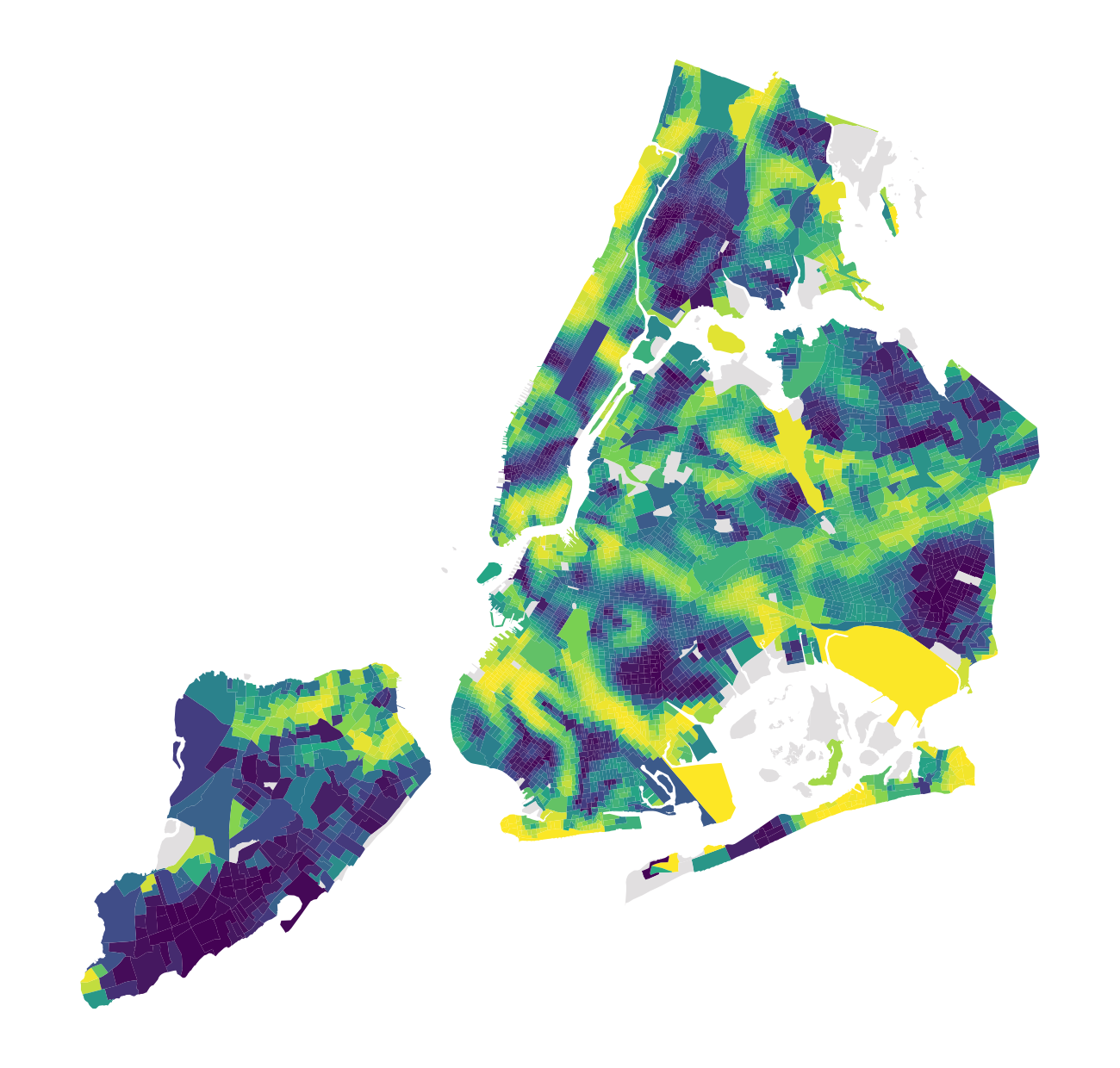
Result Composite alignment was statistically positive in 54 of 100 regions; Black-gradient alignment was positive in 51. View project → One estimated travel-community map · New York City 02 Time + exposure
Problem Residential measures fix people at home, even though daily movement changes who shares urban space.
Result Segregation was lower during weekday working hours; in 13 of 18 regions, even the highest estimate remained below residential segregation. View project → Racial segregation over the course of a day 03 Natural language processing · machine learning
Problem Surveys must turn brief, uneven descriptions of people's work into standard occupation codes, but the text may not distinguish occupations reliably.
Result The model ranked the human-assigned code first 59.7% of the time and among its first two choices 74.7% of the time, with large differences across occupations. View project → Overall occupation-classification accuracy Methods
Spatial analysis, modeling, data systems, and machine learning. 01 Spatial & mobility analysis I turn movement traces, Census geography, and local spatial change into measures of how cities are organized.
See projects → 02 Statistical modeling & causal diagnostics I estimate multilevel and generalized models and use simulation, sensitivity checks, weighting, and benchmarks to diagnose assumptions.
See projects → 03 Research data systems I build reproducible, R-centered workflows for large and heterogeneous data, moving bottlenecks into compiled or parallel code when needed.
See projects → 04 Natural language processing & machine learning I use TensorFlow, Word2Vec, and GloVe to classify occupational text and measure similarity between paired job descriptions.
See projects → Sharp racial interfaces beside movement-community outlines · Chicago Chicago map
Compare sharp racial boundaries with travel communities. The Chicago map places a local, pairwise measure of racial boundaries beside communities derived from observed travel.
Background
PhD sociologist building computational research on cities and inequality. Cody Arlie Reed is a Postdoctoral Associate at NYU Abu Dhabi’s CITIES Research Institute and holds a PhD in Sociology from Cornell University. His published work examines climate change and human mobility.